


El Niño is heating up Hurricane Alley and it could be a disaster
But what is El Niño and why will it make hurricanes worse?
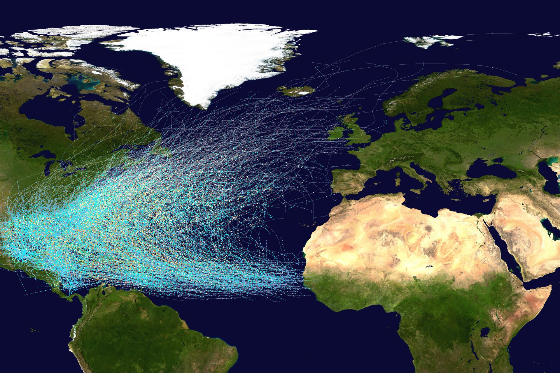
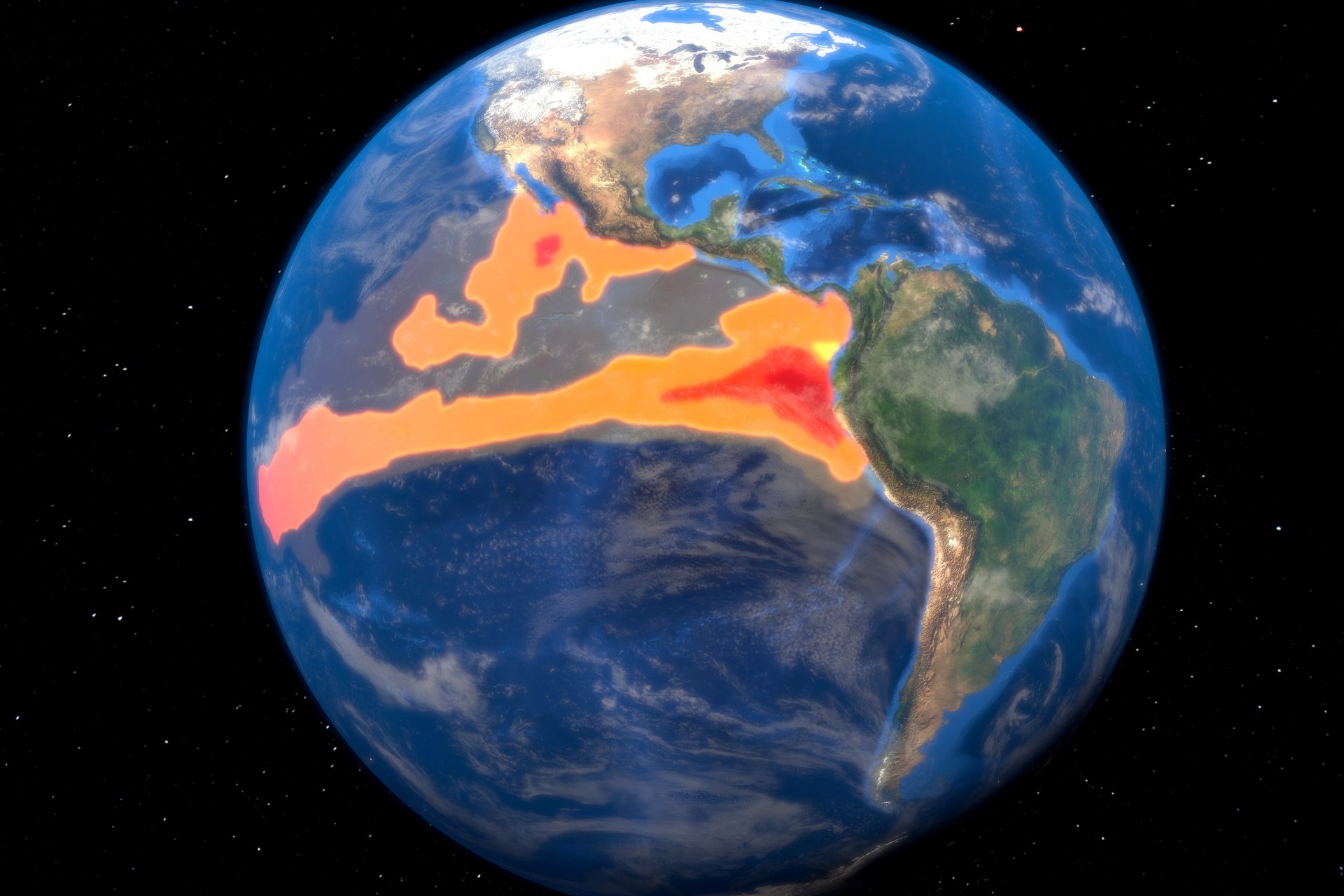
Hurricane Alley is a section of warm water in the Atlantic Ocean that runs from North Africa to Central America and the Southern United States. It's where hurricanes form according to World Atlas, and new data suggests temperature changes could kick the area into overdrive.
Hurricane Alley is already experiencing summer temperatures
Live Science reported Hurricane Alley is experiencing temperatures close to those that the ocean area would see in the summer despite it only being February. This has the potential to turn the 2024 storm season into a very big problem.
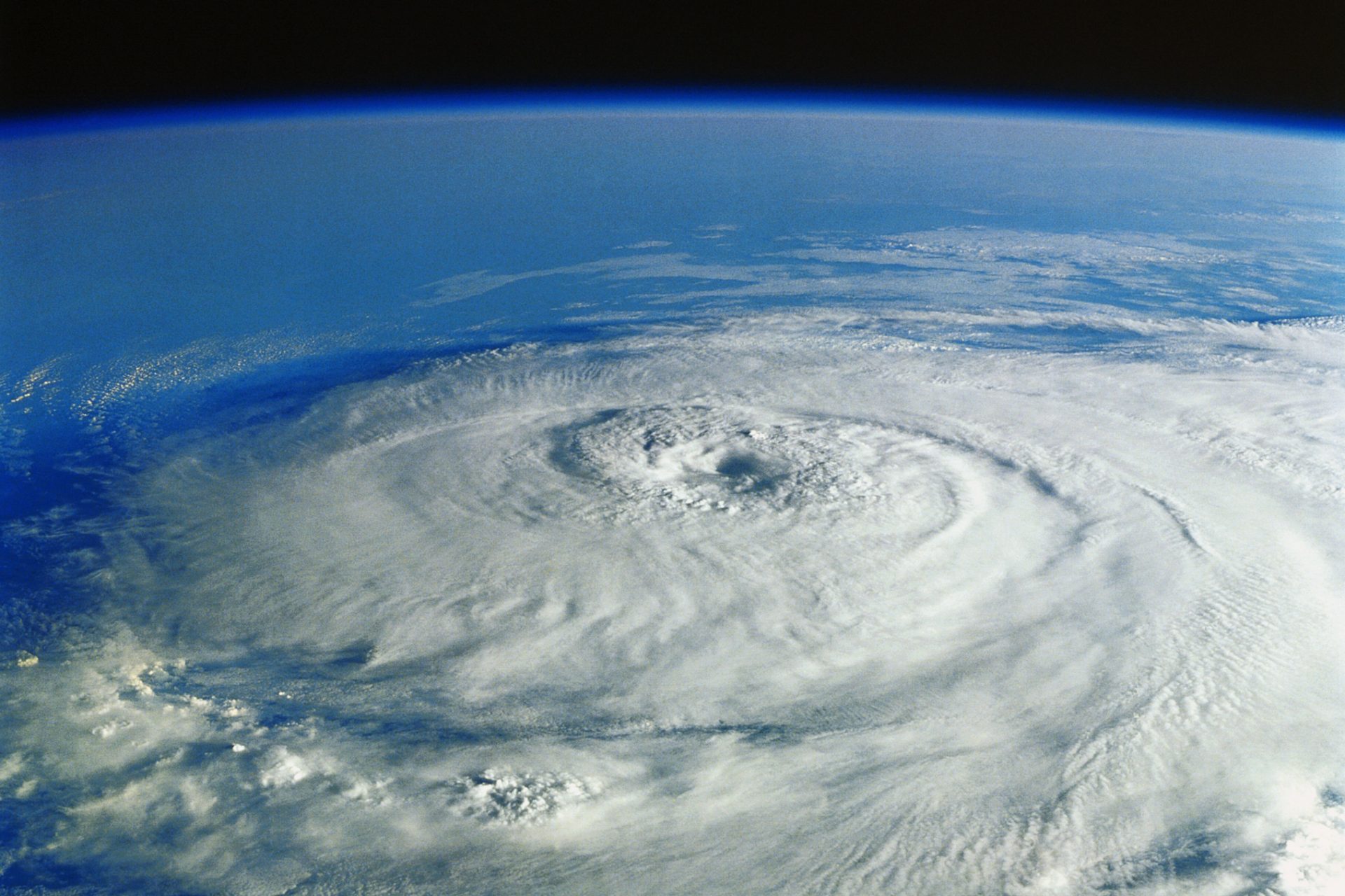
Photo Credit: Wiki Commons By Nilfanion, Public Domain
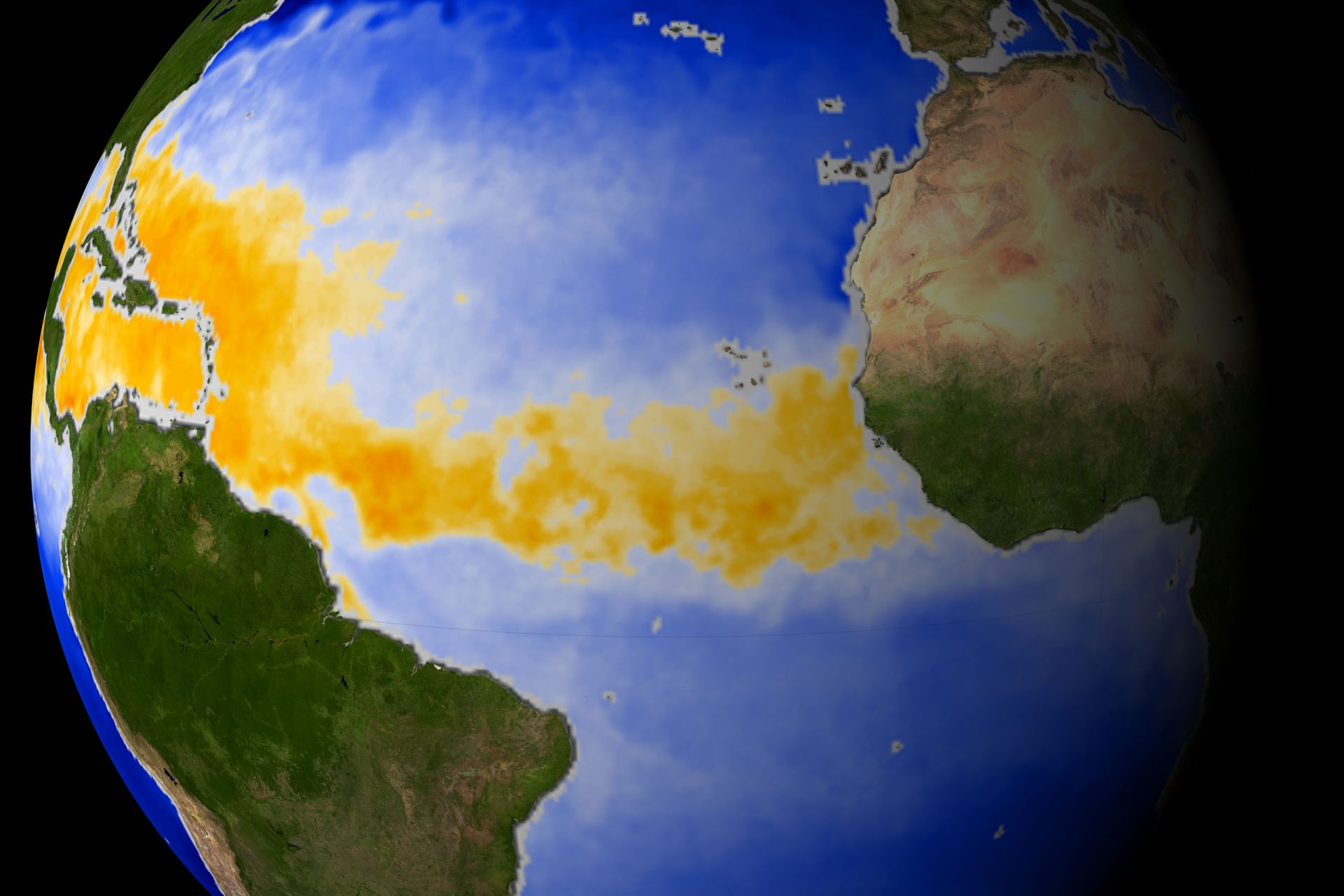
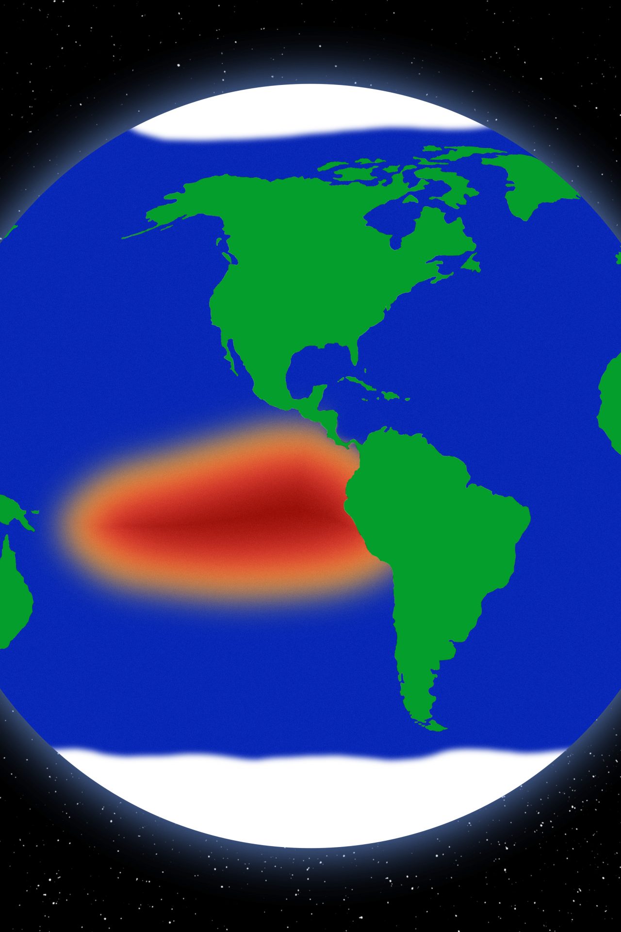
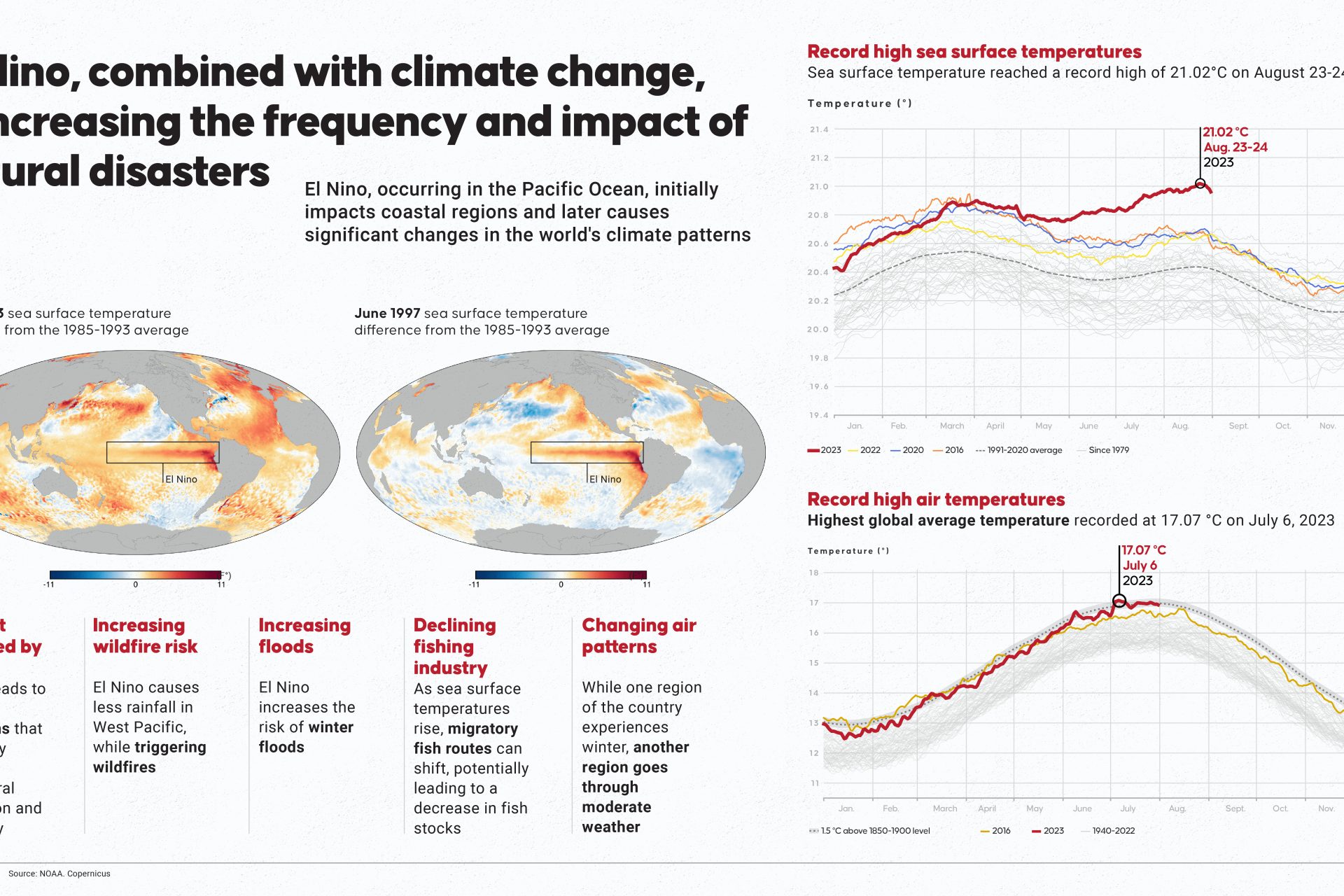
Average sea surface tempratures have hit a record high
"Since March 2023, average sea surface temperatures around the world have hit record-shattering highs and are still climbing. This ominous ocean heating is being driven by accelerating global warming and the El Niño climate pattern," Live Science's Ben Turner explained.
Hurricane Alley is no exception to the rising temperatures
"Average sea surface temperatures are now roughly 68.5 degrees Fahrenheit (20.3 degrees Celsius) across the North Atlantic, a full degree higher than the 1981-2011 average. This includes the Atlantic’s hurricane alley," Turner added.
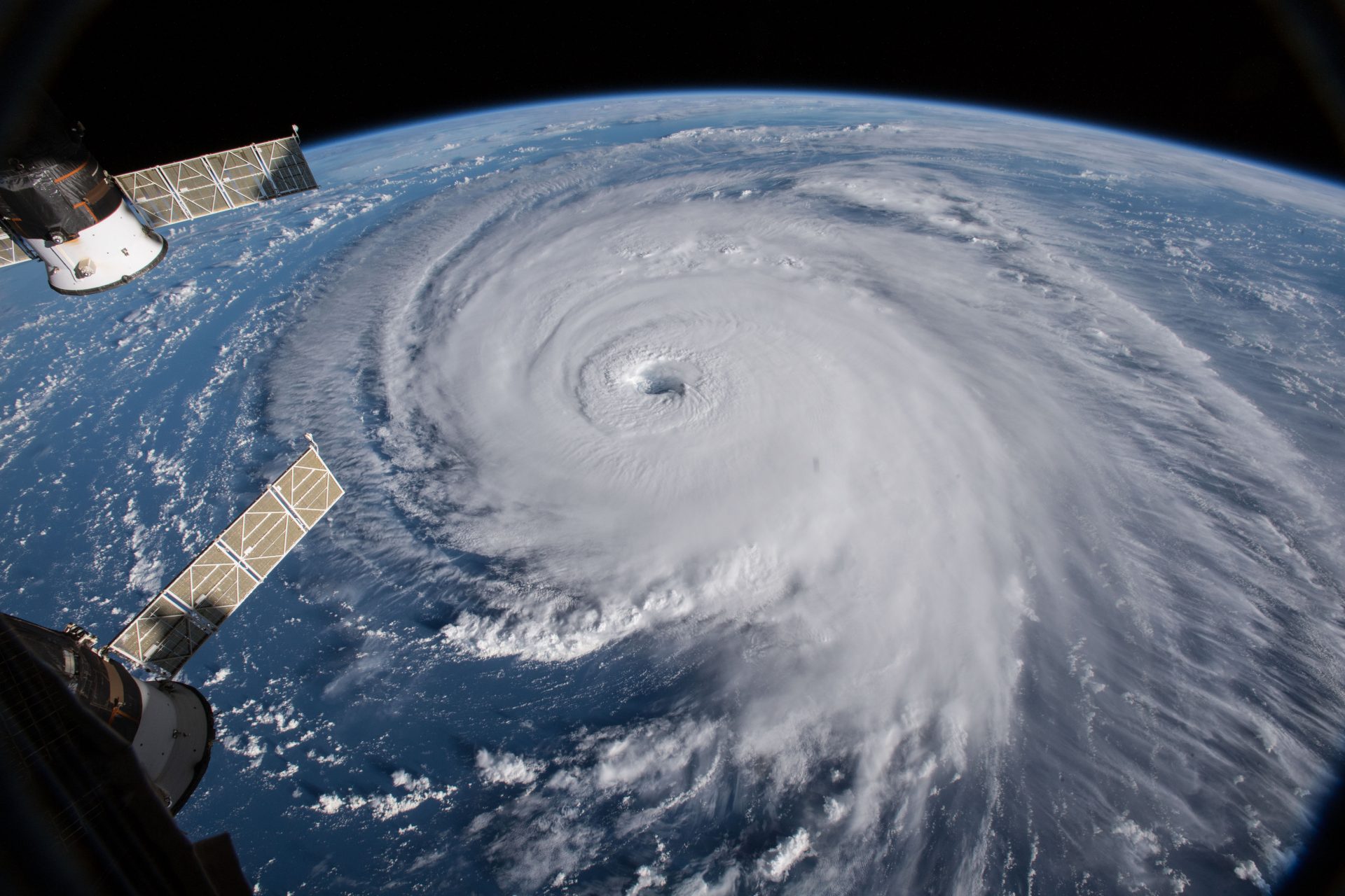
Photo Credit: Wiki Commons By NASA GSFC, Public Domain
How will the return of El Niño affect the world?
The El Niño climate pattern returned in November 2023 according to Euronews, but what does this mean for weather around the world at the time? At first, it was clear that storms would intensify in some areas while others would suffer different problems.
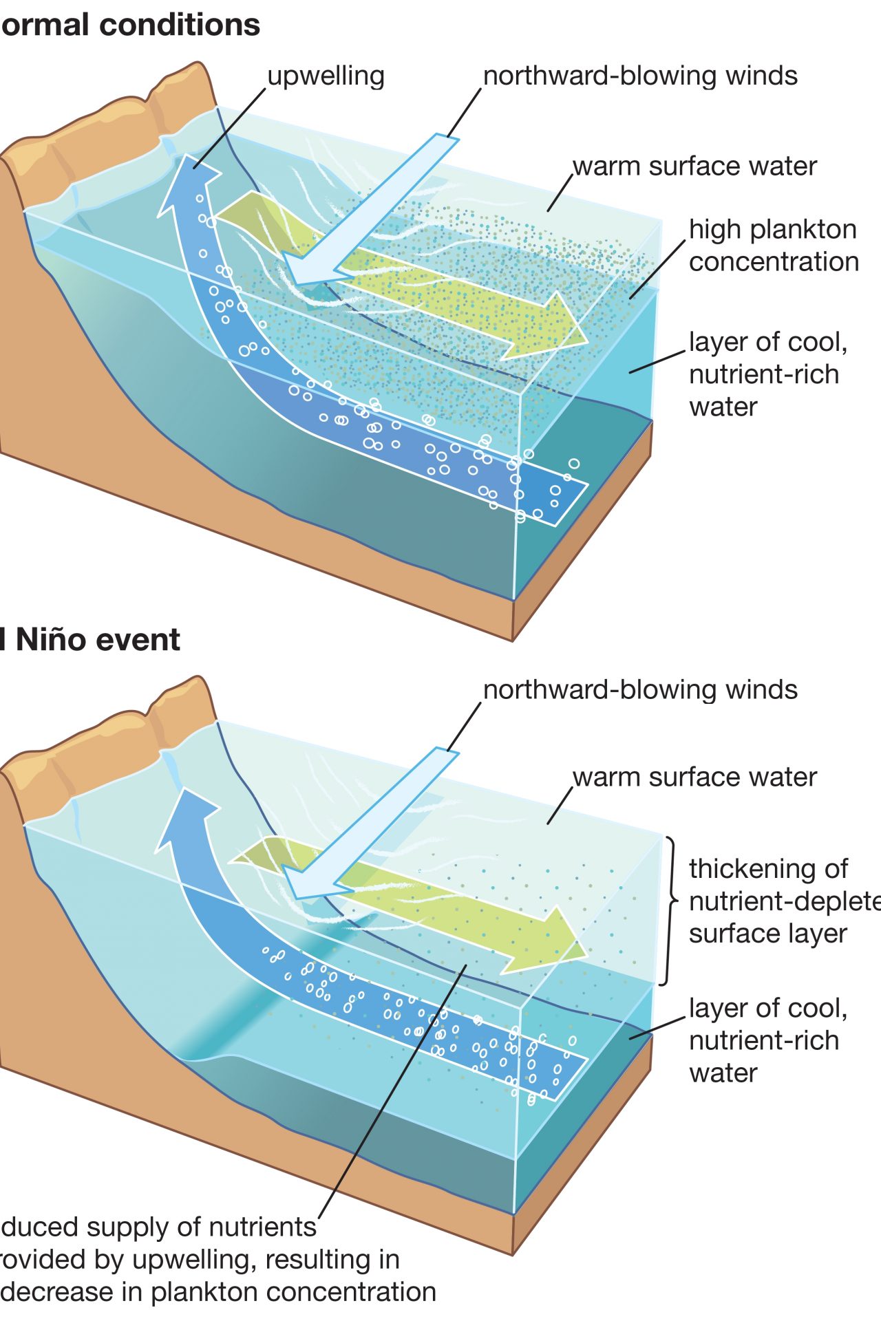
What is El Niño?
In case you aren't familiar with this weather phenomenon, National Geographic defines El Niño as "a climate pattern that describes the unusual warming of surface waters in the eastern equatorial Pacific Ocean. Trade winds and atmosphere are also impacted by El Niño."
El Niños happens every two to seven years
The United Nations' World Meteorological Organization (WMO) states on its website that "El Niño occurs on average every two to seven years, and episodes typically last nine to 12 months" and that "it takes place in the context of a climate changed by human activities."
If the Pacific rise 0.5ºC above average El Niño is declared
According to the BBC an El Niño event is "declared when sea surface temperatures in the tropical eastern Pacific rise to at least 0.5C above the long-term average." It is important to understand that El Niño is a natural climate phenomenon, however, human actions can make its effects feel more severe.
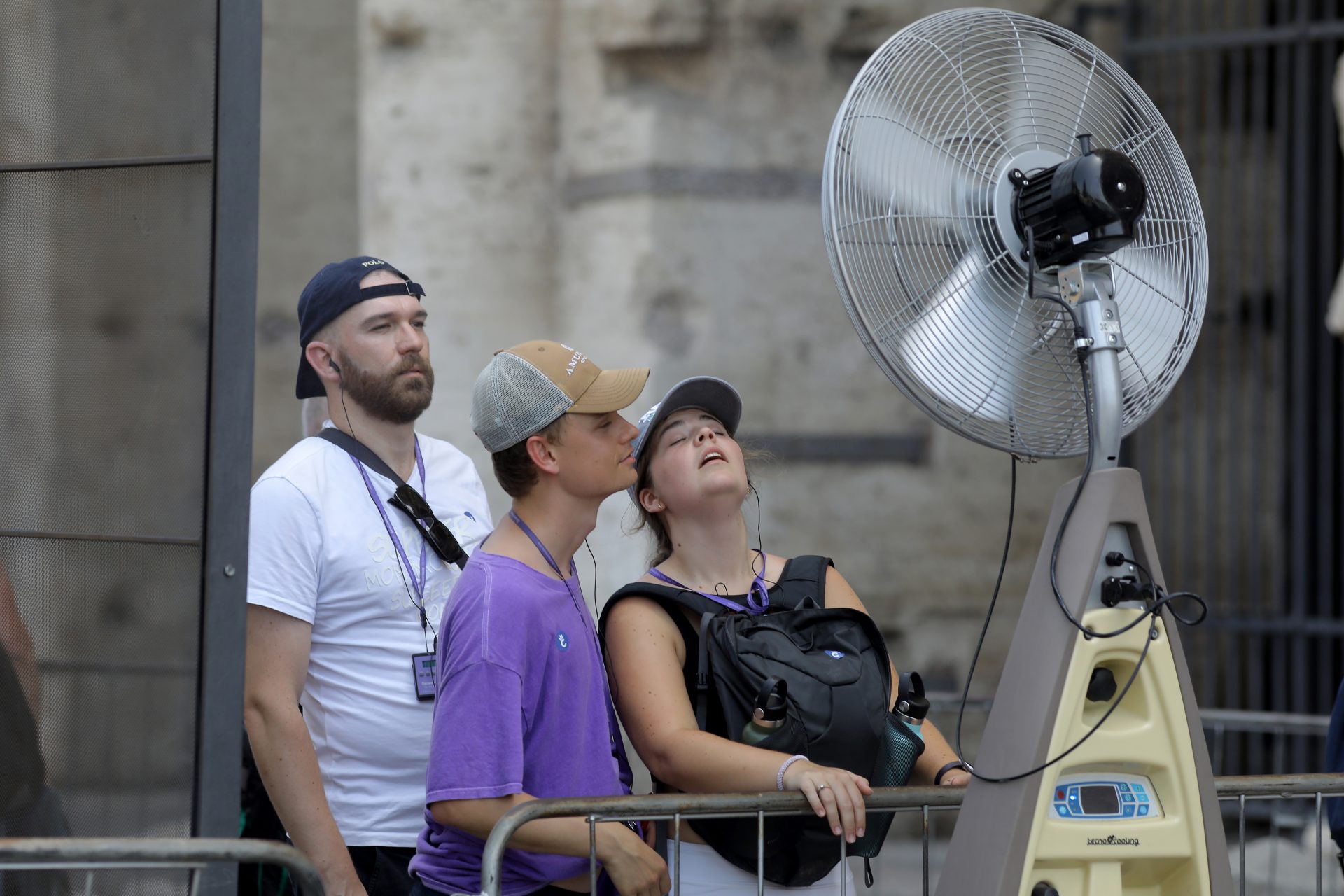
"El Niño is normally associated with record-breaking temperatures"
"El Niño is normally associated with record-breaking temperatures at the global level. Whether this will happen in 2023 or 2024 is not yet known, but it is, I think, more likely than not," Director of the EU's Copernicus Climate Change Service Carlo Buontempo explained in November 2023 according to Euronews.
The effects of El Niño over the winter could be devastating
El Niño has returned after three consecutive years of La Niña, which is a cooling weather pattern. According to NASA, El Niño returned in the spring of 2023, and the effects of El Niño over the winter in the Northern Hemisphere could be devastating.
We really felt the effect of El Niño over the summer
The effects of El Niño were already felt over the summer of 2023, which wasthe hottest summer on Earth according to records that date back to the 1800s.
Warm water causes the Pacific jet stream to move south
According to Euronews, experts say that as El Niño causes the warm water in the Pacific Ocean to move eastwards, the Pacific jet stream will move to the south of its neutral position.
NOAA predicts a mild and dry winter in Canada and Northern US
As a result, the United States National Oceanic and Atmospheric Administration (NOAA) predicted that the Northern U.S. and Canada will have a milder and drier winter than they usually do.
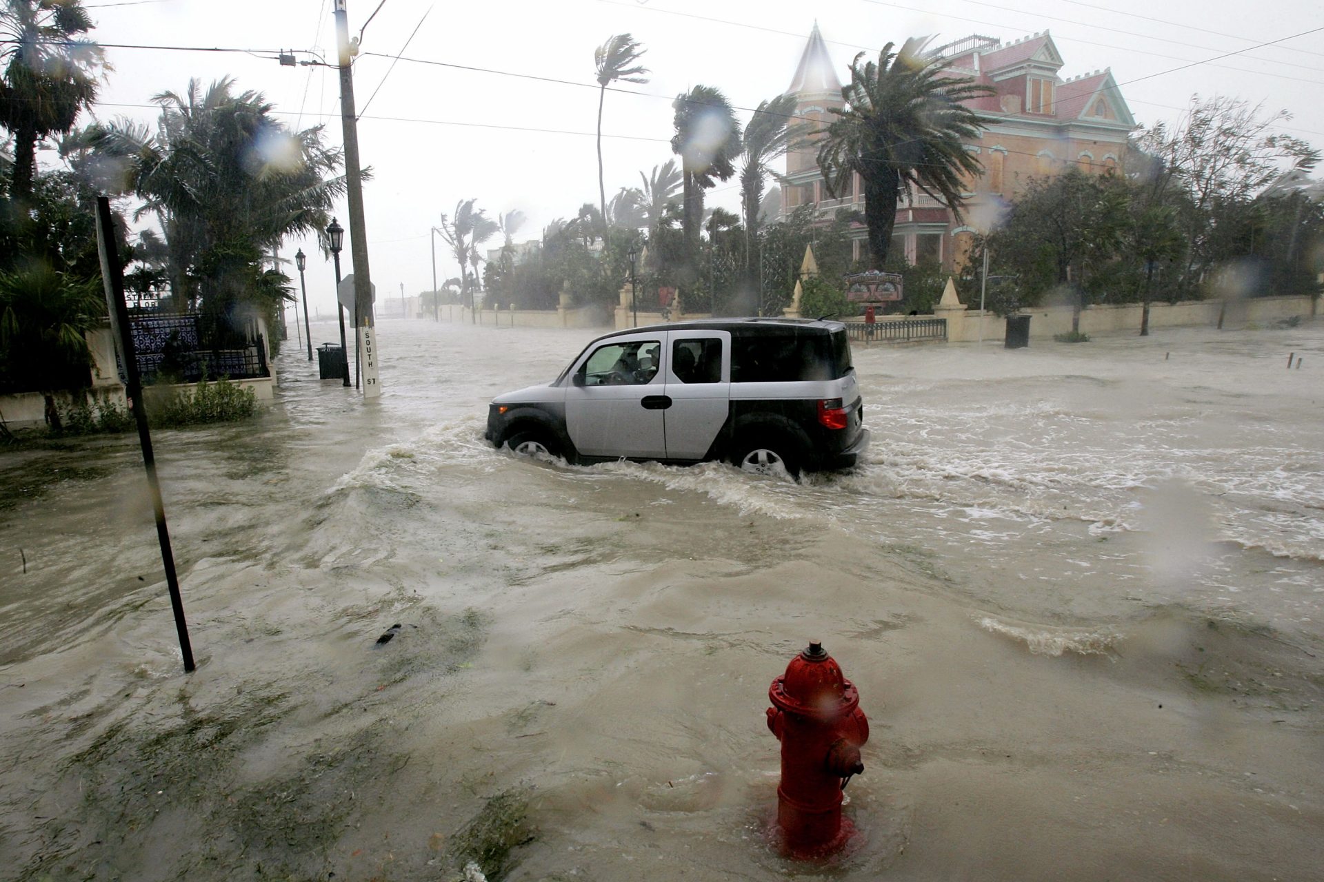
Southern US and Gulf Coast will have a wet winter
In contrast, NOAA says the Southeast and Gulf Coast will experience a wetter winter than normal, increasing the chances of flooding.
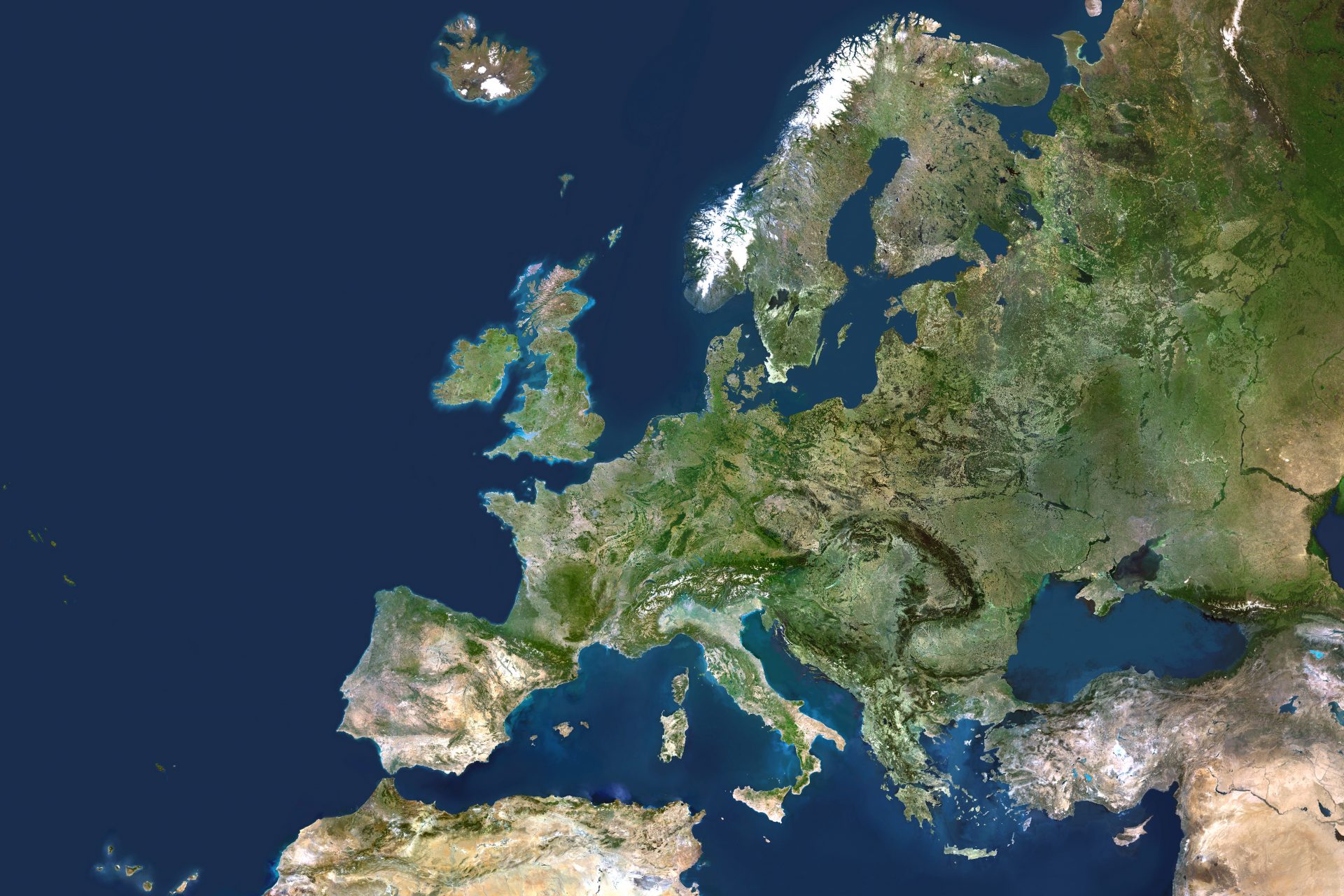
More rain in the south of Europe, dry and cold in the north
As for Europe, experts told The Guardian that they expect a wetter-than-average winter in the south of the continent and a drier and colder winter in the north.
Countries closer to the Pacific Ocean will have dry and hot weather
Regarding the countries closer to the Pacific Ocean, weather experts at WMO say that countries like Japan, Australia, New Zealand, and Indonesia will most likely experience hotter and drier weather towards the end of 2023 and the beginning of 2024.
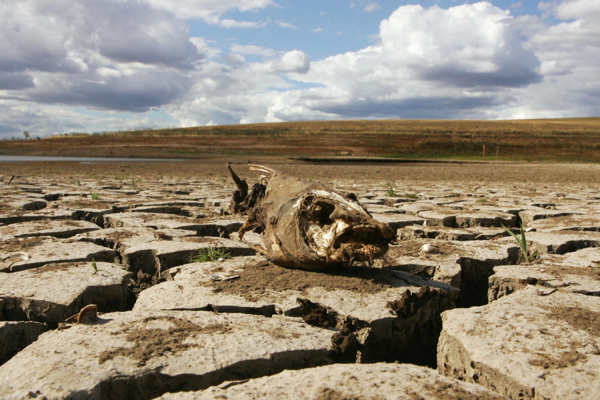
El Niño affected winter in South America
El Niño seriously affected winter in South America, which, according to an article on the subject by VOX, experienced the hottest and driest winters on record.
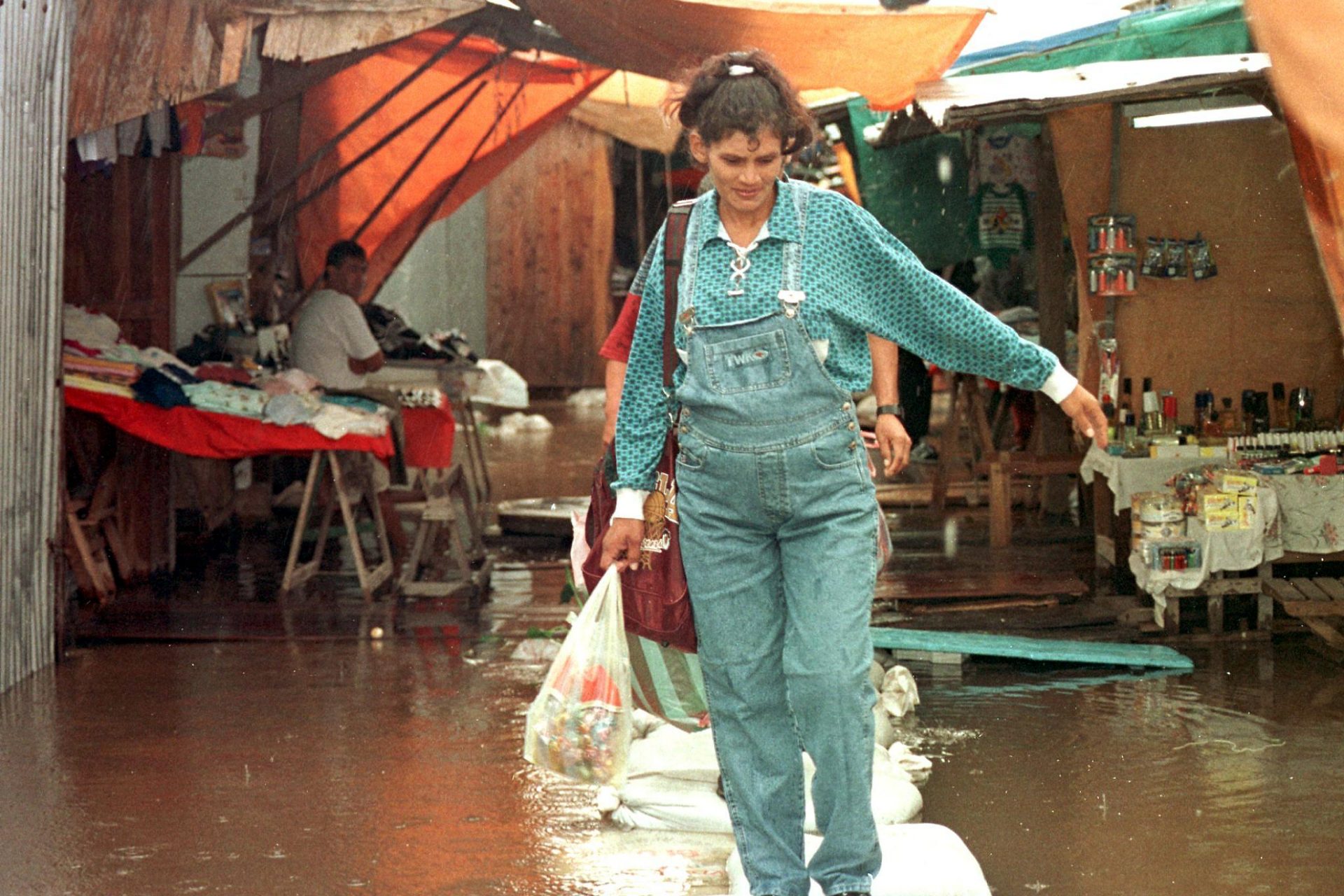
South America is expected to get heavy rains
However, Matilde Rusticucci, an atmospheric scientist from the University of Buenos Aires, told VOX she believed that as spring turned into summer, El Niño would likely bring heavy rains to the country and much of South America, which could lead to flooding.
Monsoons for India, flooding in East Africa, drought in South Africa
Climate experts all agreed there would be a higher chance of monsoons in India, heavy rains in East Africa, and flooding during the end of 2023 and the beginning of 2024. On the contrary, El Niño was expected to cause a substantial reduction in the amount of precipitation in South Africa.
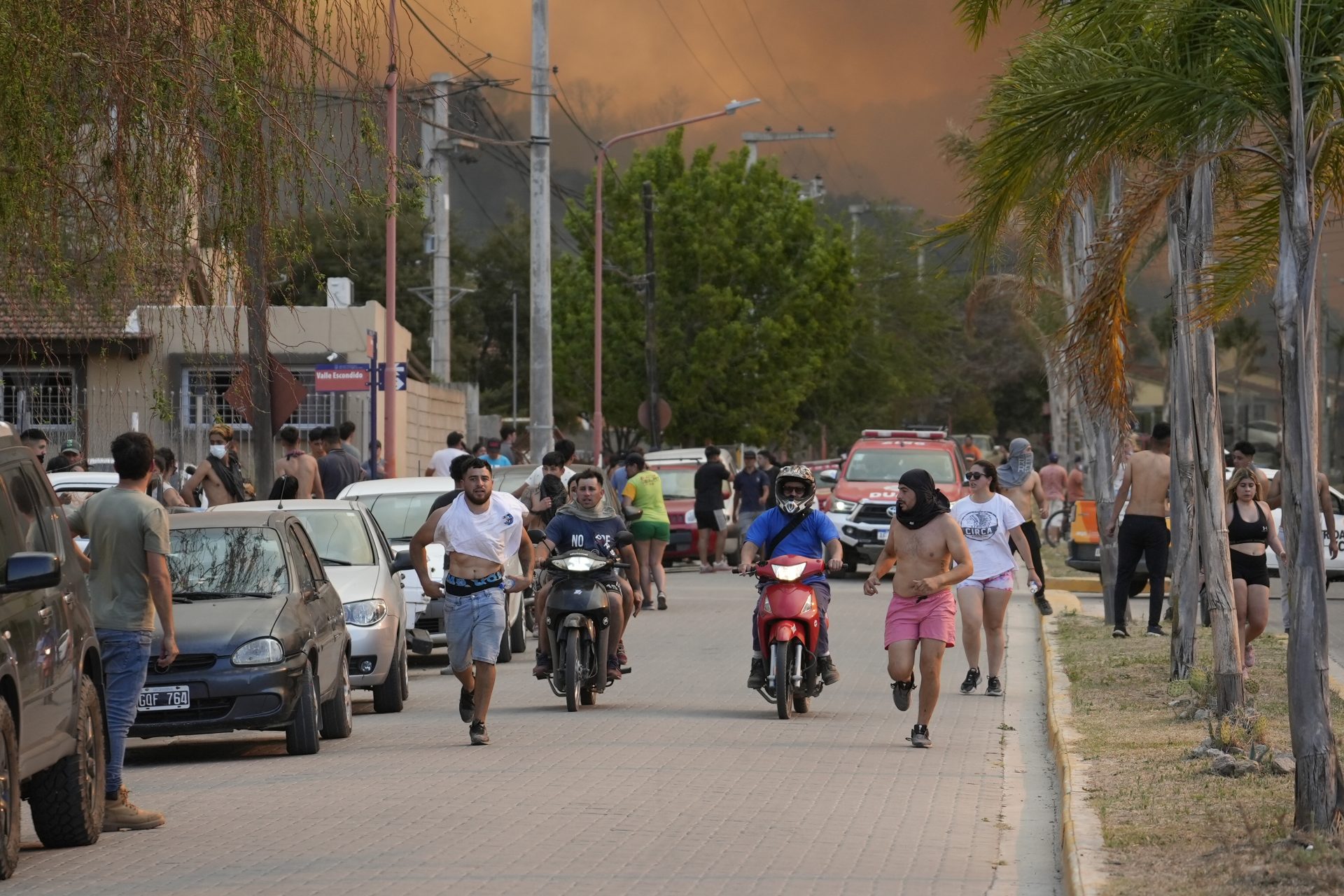
Hurricanes more likely
Furthermore, the climate scientists at NOAA warned that El Niño would make hurricanes more likely in the Pacific Ocean, and islands such as Hawaii will be at high risk of experiencing tropical cyclones towards the end of 2023.
The weather events caused by El Niño will cost us
If the scientists were correct, the next few months are going to be challenging and extremely costly globally. According to a study published in Science, the El Niño events in 1997-1998 caused $5.7 trillion in income losses worldwide and contributed to 23,000 deaths due to weather events.
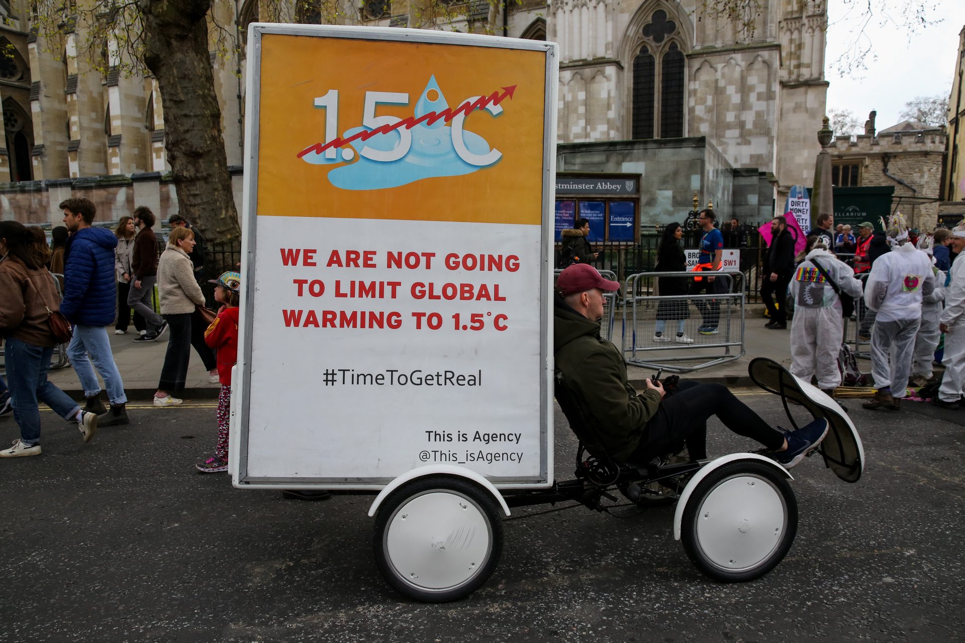
Dangerously close to our 1.5ºC global warming limit
If El Niño was that bad 25 years ago, surely now the effects will be even worse. In addition, climate experts expect temperatures to be around 0.2 ºC warmer than average globally, which could result in passing the critical 1.5ºC global warming limit.
A 50% chances we reach the limit in the next five years
Professor Adam Scaife from the UK Met Office told The Guardian he believes there is a 50% chance this could happen in the near future saying, "The probability of having the first year at 1.5 degrees Celsius in the next five-year period is now about 50:50."
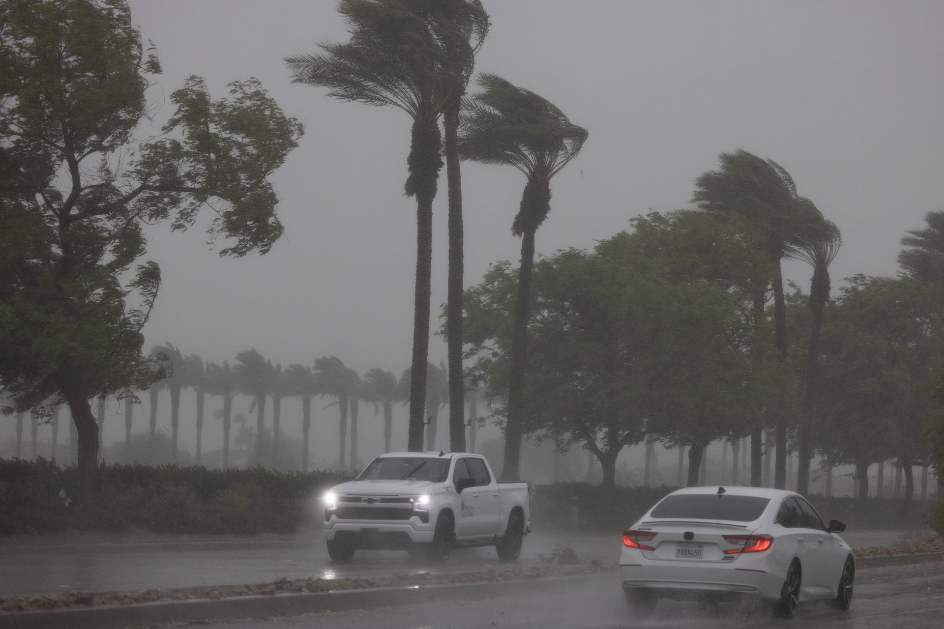
How bad will hurricane season be in 2024?
It is clear that El Niño combined with climate change is a dangerous combination and we can no longer deny our role in the natural disasters that are haunting our planet. But how bad will the hurricanes it causes in 2024 be for the countries affected?
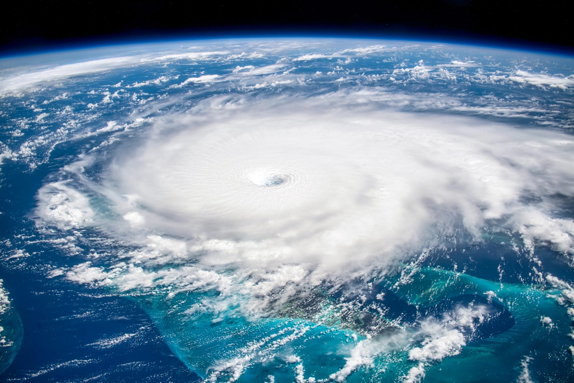
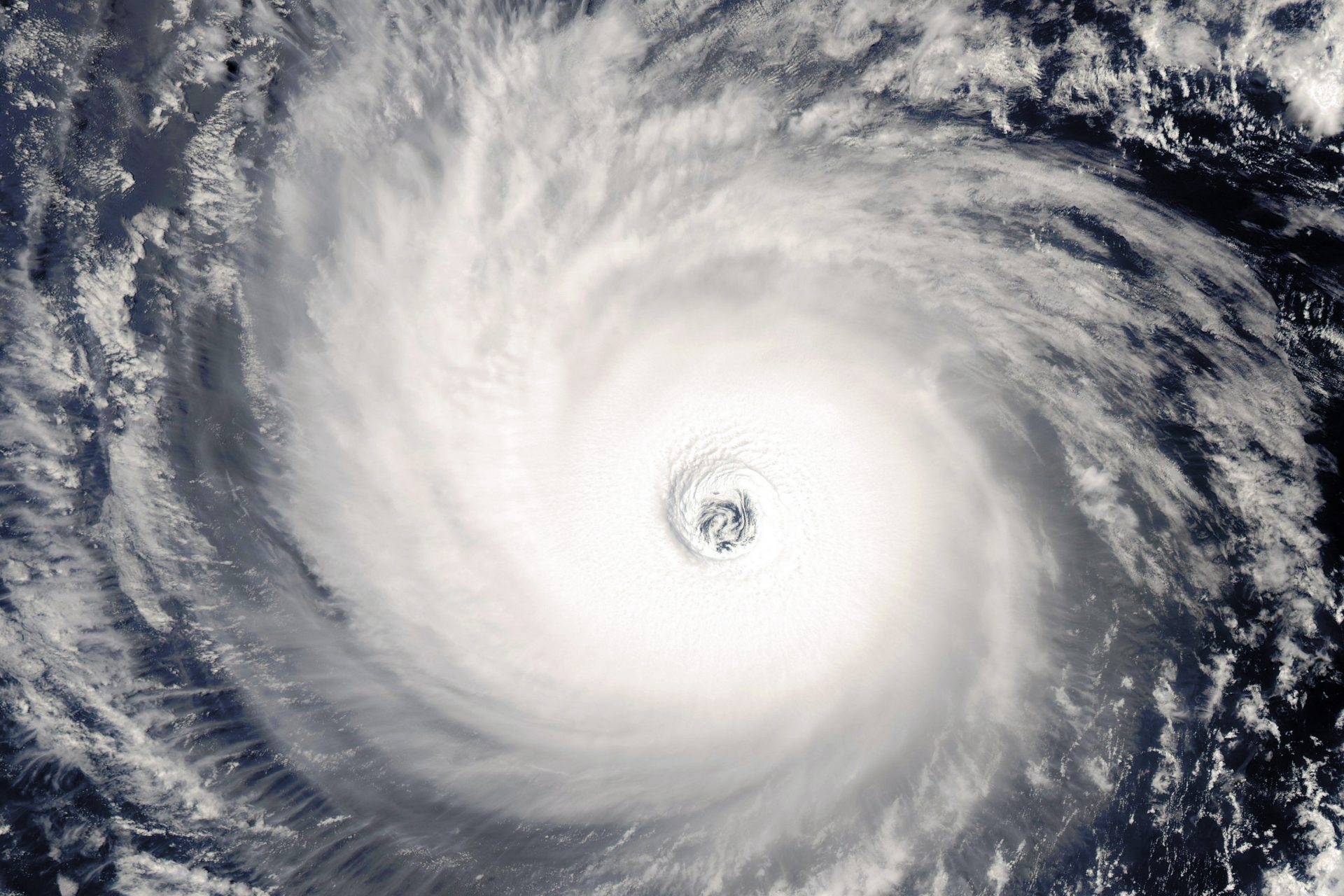
How do hurricanes form?
"Hurricanes grow from a thin layer of ocean water that is evaporated by winds before rising to form storm clouds. Warmer waters give this system more energy, pushing this process into overdrive and enabling violent storms to rapidly take shape," Ben Turner wrote.
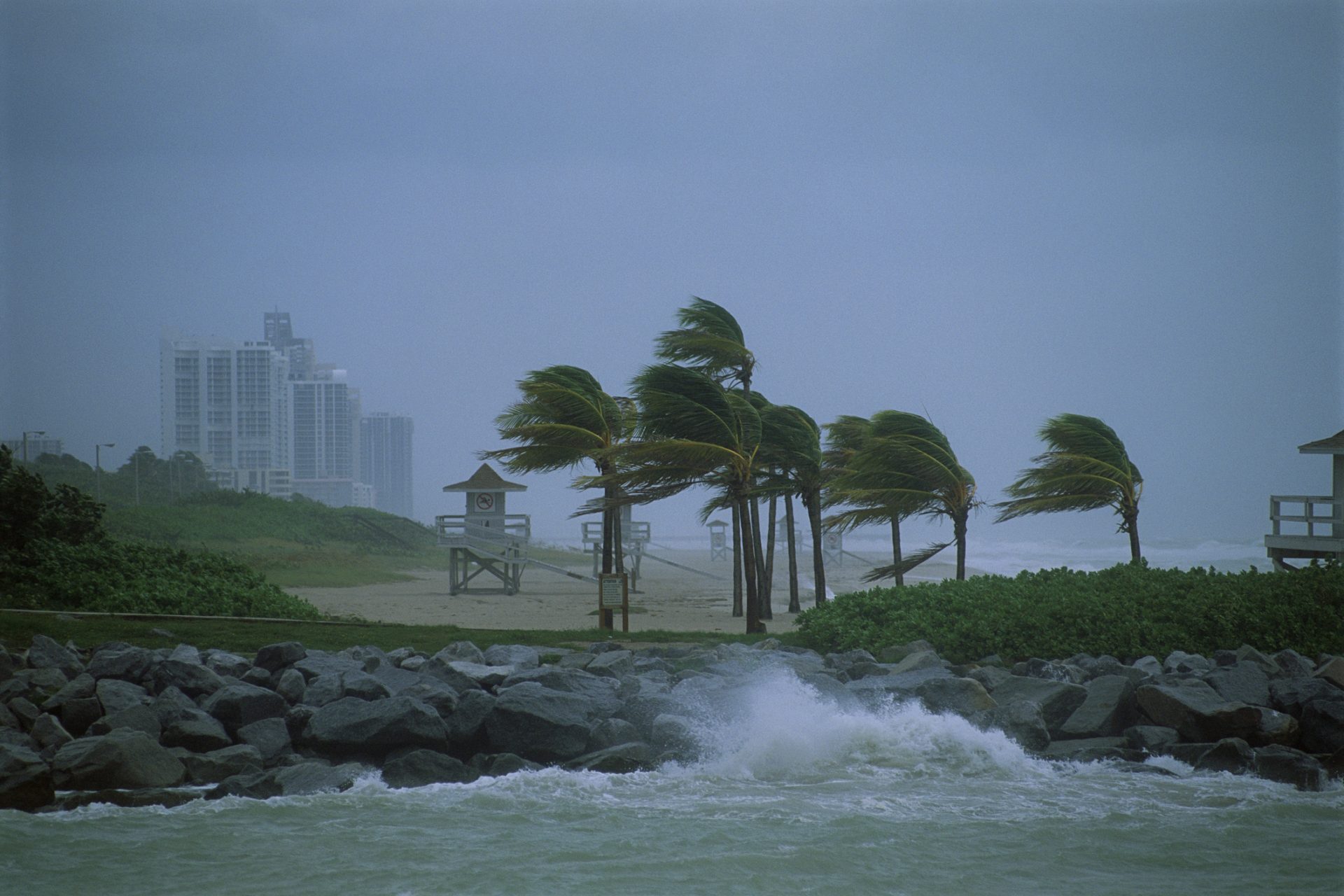
El Niño winds act as a break against hurricanes
With Hurricane Alley being warmer than usual earlier than usual, it is possible that there could be more and stronger hurricanes in 2024. However, El Niño winds are typically stronger in the Atlantic and act as a break against hurricanes.
Photo by Guillaume Bassem on Unsplash
Here's where there could be a problem
However, El Niño is only expected to last into June 2024. According to Live Science, if this climate cycle prediction is accurate, or if it dies down and is replaced by La Niña, it could be an "unusually stormy summer."
Photo Credit: Wiki Commons By NASA Goddard Space Flight Center, CC BY 2.0
More for you


Science and health
Who is causing the world’s plastic problem? This study figured it out
3 may, 2024
Top Stories
1
2
3
4
Science and health
Who is causing the world’s plastic problem? This study figured it out
3 may, 2024
5